
LPA inside PAR unlikely to turn into tropical cyclone — Pagasa
MANILA, Philippines — A low pressure area (LPA) now inside the Philippine area of responsibility (PAR) is unlikely to turn into a tropical cyclone, the Philippine Atmospheric, Geophysical and Astronomical Services Administration (Pagasa) said Saturday.
ADVERTISEMENT
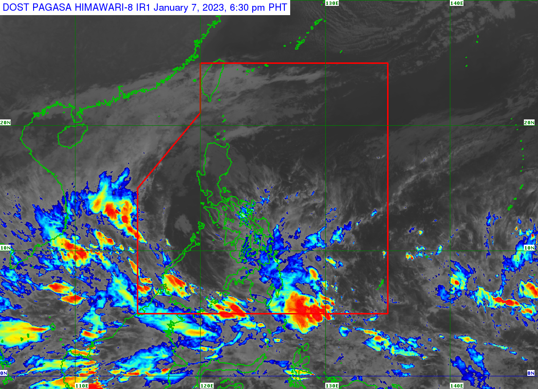
According to Pagasa’s latest bulletin, the LPA is currently 670 kilometers east southeast of Davao City.
“Sa ngayon mababa pa rin ang tsansa na ito ay maging isang ganap na bagyo, ngunit yung dala nitong kaulapan ay magdadala pa rin ng pag-ulan, lalong lalo na sa Eastern Visayas, Central Visayas at malaking bahagi ng Mindanao,” said Pagasa weather forecaster Rhea Torres.
(For now, there are still low chances that it will become a tropical cyclone, but it has clouds that will still cause rain, especially in Eastern Visayas, Central Visayas and a large part of Mindanao.)
Meanwhile, Pagasa said the northeast monsoon will continue to bring rain in Cagayan Valley, Cordillera Administrative Region, Bicol Region, Aurora, and Quezon.
Pagasa also raised a gale warning in the seaboards of Batanes, the Babuyan Islands, Ilocos Norte, Cagayan, Isabela, Aurora, Northern Quezon and the northern and eastern coasts of Polillo Islands, Camarines Norte, the northern coast of Camarines Sur, Catanduanes, the eastern coast of Albay, and the eastern coast of Sorsogon, Northern Samar, Eastern Samar, the eastern coast of southern Leyte, Dinagat Islands, and the eastern coast of Surigao Del Norte including Siargao and the Bucas Grande Islands.
RELATED STORIES
Pagasa: Wet weekend in Visayas, Mindanao, parts of Luzon due to LPA, ‘amihan’
Southern Luzon bears brunt of bad weather
/MUF
Click here for more weather related news.
Read Next
PNP on heightened alert for Black Nazarene feast, not for alleged destab plot, says spox
EDITORS’ PICK
MOST READ
Don’t miss out on the latest news and information. 

View comments